Most aviators operate their aircraft at airports/airstrips that are at relatively low altitude. This is good because there air is dense down low. The denser the air the more power the engine is able to make and the more lift the wings are able to produce. The higher you go, the thinner the air becomes and performance drops off fairly drastically. This means that an oddball like me that operates out of high elevation airstrips must pay a heavy price in take-off and landing performance.
Adding to the problem, heating the air makes it even thinner. There is a concept in the aviation world called density altitude. This is elevation corrected for temperature, humidity, and barometric pressure. A bit like wind chill, this is the “feels like” altitude.
Most of us that own and operate the same aircraft all the time have a good idea how much runway it requires for typical operation. However; few know exactly what our actual take-off and landing distances are. This is mostly because we are operating from runways that are ten times longer than required and obtaining specific measurements is not an easy thing to do by oneself.
Many airports in this part of New Mexico are located at about 5000′ above sea level. During the warm summer months, I do most of my flying early in the day while it is cool. Wait until it is 90′ degrees outside and suddenly you find that 5,000′ high airport feeling like it is at 8,000′ – that is density altitude.
Some of the back country airstrips that I enjoy are at 7,000 and 8,000 feet above sea level – up in the mountains. The good news is that the elevation is sufficient that the daytime temperature do not typically get very high. Nonetheless, an airstrip at 8,000′ can easily have a density altitude of 11,000′. Taking off at 11,000′ density altitude is sure to get your attention! The engine is making about 60% of its rated output. THAT is VERY noticeable! The “feel” of the aircraft at this density altitude is also very different during the landing. The controls are “sluggish” and the ground is moving faster than you are used to (density altitude at work again).
Adding to these performance issues, there are other variables that are difficult to account. Since we are talking about dirt airstrips, condition (bumps, ruts) is a factor and breaking action is somewhat limited – at least compared to a typical asphalt/concrete runway.
In my opinion, the best way to deal with this situation is to be prepared for it. That requires knowing exactly how your aircraft is going to perform in those conditions. The various rules of thumb that are available are helpful but, IMO, you really have to get out and ‘do it’ under controlled conditions to really know and gain experience in those conditions. After all, one never knows when one might be living at a high altitude property and operating out of your own airstrip. 🙂
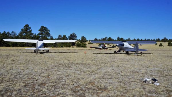
To that end, I organized a little get together with two of my flying buddies this past week. We decided to go to one of the New Mexico back country airstrips that sits at 8,100′ MSL and measure the performance of our aircraft.
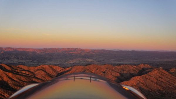
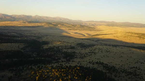
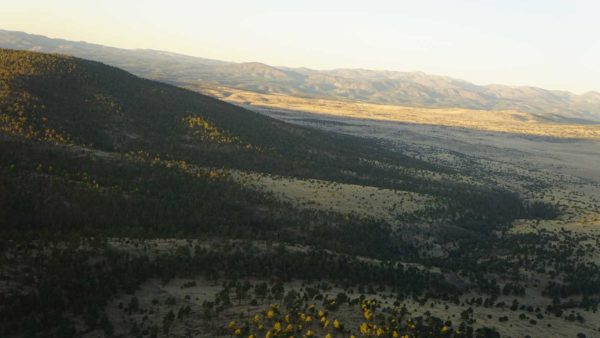
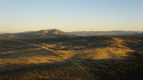
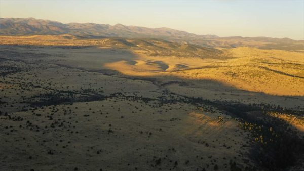
The best part of all this was the spectacular early morning flight to the airstrip! Some photos to prove my point!
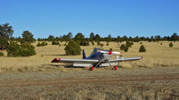
I arrived first and found a small herd of Elk were using the airstrip. It took several low passes to encourage them to move off so I could land. Once that was done, enjoying the incredible peace and quiet was priority number one! It was wonderful!
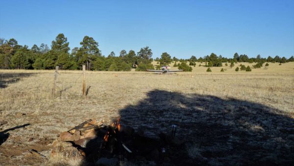
Of course, my friends had ordered me to have a campfire ready for them so I had to get on that.
Difficult to see in the photo above but the campfire is burning!
I brought breakfast burritos and one of the others brought fresh cinnamon rolls. We were not going to starve this day!! Truth be told, it is highly unlikely that I will ever starve to death! 🙂
Some great food around a great campfire with some great friends! I very nice way to spend the morning!
Then we got to the testing. The process was pretty simple.
We marked an “aim point” on the airstrip. This is nothing more than the “beginning” or “target point” of the runway for these tests. The actual “start” of the runway is not used as a safety factor is required for this testing. If one were using the physical end of the runway and were to land short, you would likely damage your aircraft. With this approach, no damage will be done if this occurs.
Using handheld GPS units, the two people on the ground set a waypoint at the aim point. One person stayed at the aim point, the other walked down to the expected take-off lift-off point and landing stop point. The third person hopped in their airplane and went flying.
Each of us did four take-offs and landings. The other two measured distances. From the aim point, one person measured the distance at which our wheels left the ground on takeoff and the distance at which we stopped after a landing. The second person measured the distance from the aim point to which we actually touched down on landing.
The results were fascinating – probably only to me – but fascinating none the less! 🙂
At a density altitude of 10,000′ and operating into a very slight wind (about 4 kts), take-off’s required about 1,300′ and landings about 1,150′. That doesn’t sound like a lot but my airplane (Van’s RV-4) uses slightly over 400′ at sea level. That is THREE TIMES more runway at a high density altitude.
Very Interesting Data!
I now have measured performance data that will make my high density altitude summer flying much more predictable, relaxing, and enjoyable.





Great article. Hope to join you soon!
Thanks John! I hope so too – get busy!! 🙂
Not to mention, if you happen to purchase one of those high country airstrips, you will get one long enough!!
Why Pete! I don’t know what you are talking about?!?!? 🙂
Looks like a fun time!