Copperstate is a Phoenix, AZ area fly-in. In the past, it moved around a bit but seems to have found a permanent home at the Casa Grande airport (CGZ). This is the same location that hosts the antique association fly-in in the spring. Copperstate is not a huge event. They have a temporary tower and publish Oshkosh like arrival procedures but don’t let that scare you – arrival and departure is easy and stress fee. None of the excitement of parallel runways landing six aircraft simultaneously!
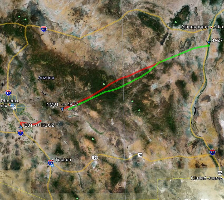
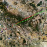
My plan was to fly direct and make the two hour flight over Friday morning and return late Friday afternoon. The route is simply 237 degrees out of home (E98) with a few little offsets to avoid some restricted airspace. The forecast early in the week was calling for 50 knot winds from the west. Not my idea of fun. Thankfully, the forecast changed as the week wore on. By Thursday night, there was only a whisper of wind in the forecast – both heading west to Phoenix as well as back east to home. For those not in the west, it is not uncommon to have 50 knot headwinds which REALLY stirs up the turbulence over the mountains making for a less than fun ride.
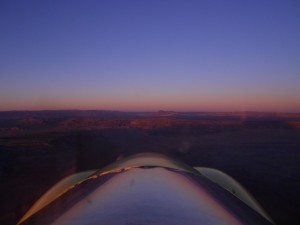
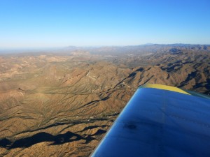
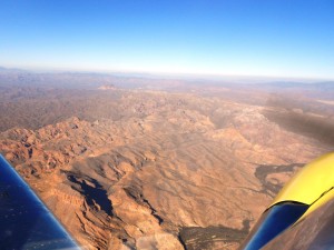
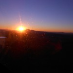
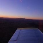
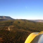
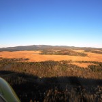
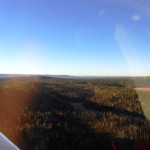
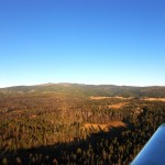
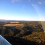
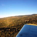
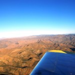
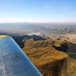
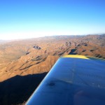
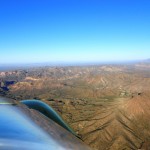
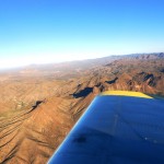
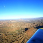
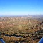
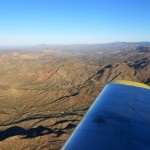
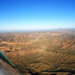
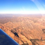
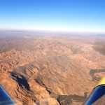
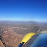
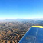
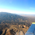
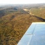
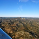
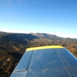
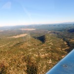
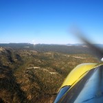
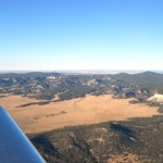
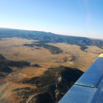
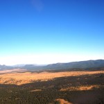
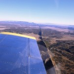
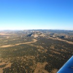
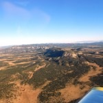
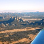
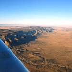
I launched at first light. The flight to Phoenix is something special. The terrain is very rugged and very pretty. I started at a fairly low 6500′ MSL until the Continental Divide at which point you are basically forced up to 8500′ MSL – and this is still scraping the ground.
Note: As always, click on any image to view a larger version.
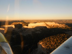
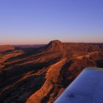
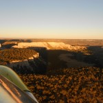
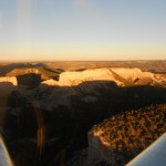
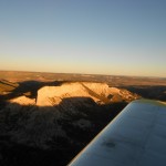
New Mexico is a fantastic place at sunrise. I VERY much enjoy being airborne and watching the sun light up the terrain. The shadows are long and the rock faces just jump to life when the sun hits them. AWESOME!!
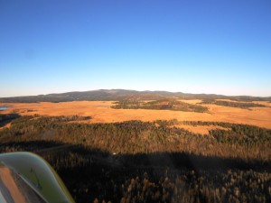
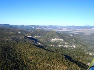
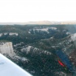
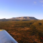
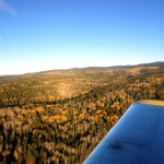
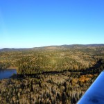
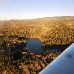
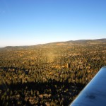
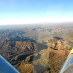
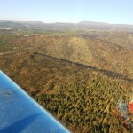
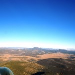
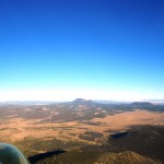
I then passed just south of Mount Baldy at 9500′, again, scraping the ground. I’m not positive but I think all the splotches of yellow in this area are Aspen trees – very pretty to see the variations in color. It also gives me a funny feeling to be flying along at nearly 10,000′ and being a few hundred feet off the ground – what a place to live. Mount Baldy is a pretty interesting feature. It peaks at 11,420′ but is more like a huge bump rather than a steep mountain.
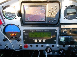
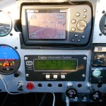
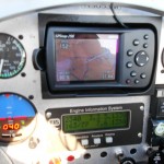
The reason for all this ground scraping is that I was talking to a friend had left just before me in his Glasair III and was up higher (12,500′ to 10,500′) reporting head winds. I experienced a small bit of tail wind with my ground speed at 160 knots for most of the trip. Fuel flow was indicating about 7.5 GPH. However; topped off at Casa Grande only required 13.4 gallons so, as suspected, my fuel flow indication is a twinge high – this is better than a bit low. So, 13.4 gallons for a 275 NM trip including an emergency potty stop – not a bit shabby – just over 20 mpg.
After passing Mount Baldy, my ground speed started to slow a bit and my need to find a restroom rose. As I approached Globe, AZ, there was no denying the inevitable – I had to stop or pee my pants. I elected for the former and landed at San Carlos Apache (P13). This seemed to be a nice little airport but was unattended as near as I could tell. I simply landed, stopped on the taxiway, did my business and was off again!!
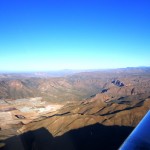
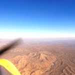
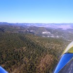
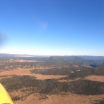
The stretch of Arizona between Mount Baldy and Phoenix is usually hazy – today was no exception. I didn’t know what caused this until later in this trip. I was told that it is due to the numerous mines (can’t remember the type, sorry) in the area that create a bunch of smoke/haze. Bummer, it is gorgeous territory and would be more so without the haze.
Descending into Phoenix is always a bit of a surprise and even on this early morning arrival, this held true. It was far from hot but much warmer than it had been at 9500′ so the cockpit heat went off and the cabin vents opened. The Copperstate arrival has you come in over the Interstate and report over a rest area. A couple canards and a Harmon Rocket reported in about 5 minutes ahead of me so far from a crush of traffic. The wind was blowing slightly so a bit of a left crosswind but not enough to worry about.
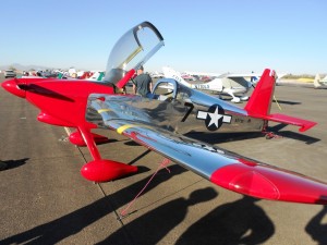
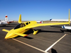
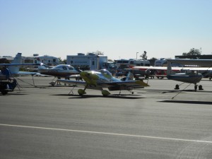
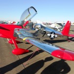
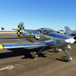
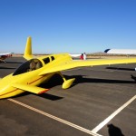
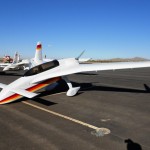
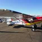
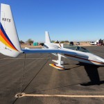
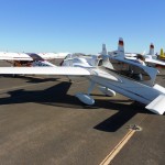
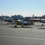
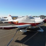
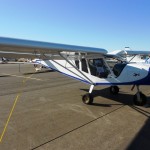
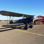
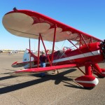
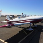
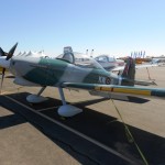
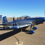
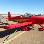
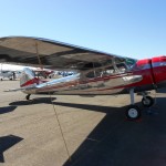
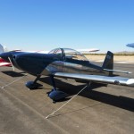
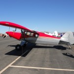
The attendance was good, far from a packed ramp though. Purely guesses but I would say there were at least twenty-five RV’s, six canards, a dozen or so warbirds (T6’s, L39, C-47, YAK, etc…), and then just a mish-mash of everything else. I spent the day wondering around and viewing airplanes. It’s always great to take a look at the details of other builder’s work.
Departure was simple and tried to make a good showing for all of RV-3-kind! I’ve never flown my RV-3 at such a low altitude (2500′ MSL) and the high fuel burn caught my attention! I headed east and climbed to 4500′ to get into some cooler air until well clear of PHX and then headed northeast and on up to 7500′.
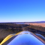
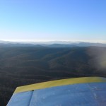
As I approached Mount Baldy, I again had to climb up to 9500′ and caught a bit of lift which pushed me on up to 10,000′. I cannot say it enough, this route is spectacular. Getting to the see the same terrain at sunup and then again in the late afternoon is almost like seeing two different areas.
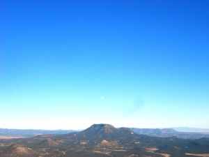
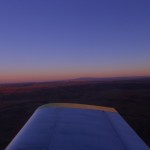
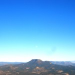
I loved the sights and the ride! Just when I didn’t think it could get any better, the nearly full moon showed up! I couldn’t thank God enough for the beautiful view and ability to be sitting in the air taking it all in. Thank you, thank you, thank you!
I stayed up at 9500′ for the remainder of the flight and enjoyed the view. Winds were nearly non-existent for most of the route and I saw 150 knots ground speed for the second half of the leg. Home (Mid Valley Airpark – E98) is at 5000′ MSL so I started down about 30 miles out and enjoyed some extra speed. I made it back in a hair under two hours.
Total time for the day was four wonderful hours in a most excellent flying machine over some of the most spectacular parts of God’s creation!
[adsense float=’center’]
I use the Android app called Naviator on my Samsung Galaxy Tab 2 tablet for my EFB/sectionals. This app also stores my GPS track log. I wasn’t very good about turning it at the beginning of either leg so my track is sorta incomplete. Nonetheless; you get a good sense of the route.
*Click on the following images to view a larger version.


Do you have a GPS track that you can post of the trip so we can see your exact route?